Deploy drones to efficiently collect aerial data in order to improve site planning and quality control, manage assets, and reduce risk on the job site.

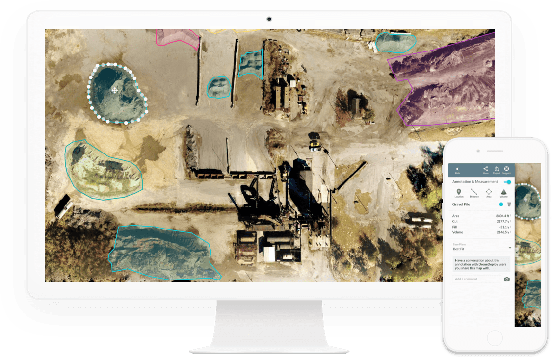
Drones and the powerful aerial data they provide are bringing cost and time-saving innovations to a variety of mining processes. Professional-quality maps and 3D models empower you to instantly calculate aggregate volumes, keep track of equipment locations and monitor safety environmental compliance.
Web-based, button-click map sharing means you can collaborate with team mates both onsite and back at the office, making sure that everyone has access to the data they need.
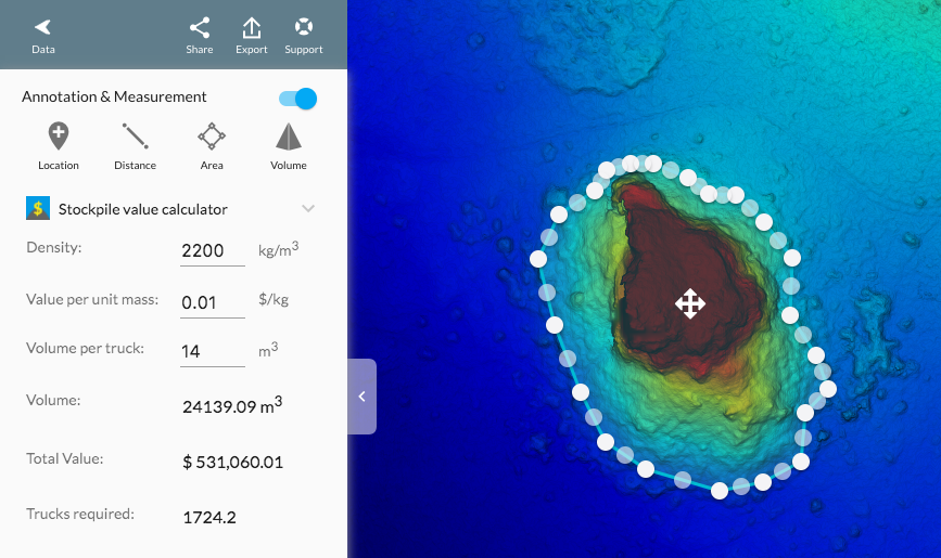
Select a volume measurement and this app will give you a quick estimate of the total mass, material value and number of trucks required to remove material or fill a pit.
Settings for material density, value per unit mass and the volume of a truck are saved by annotation color so you can quickly classify and collect mass and value measurements for up to 10 different materials.
Units are linked to your user profile, and so will change automatically from US Units (lb/y) to Metric (kg/m).


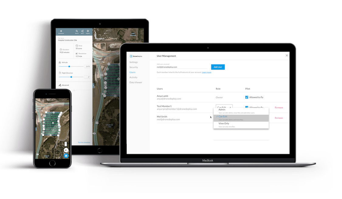
Keep your team and projects on track with high-resolution, on-demand maps and 3D models that can be easily shared, assigned, and accessed by hundreds of users on any device.

Maintain visibility with the Admin Panel and see where your team has flown, the routes they have mapped, and the data they have gathered and analyzed.
